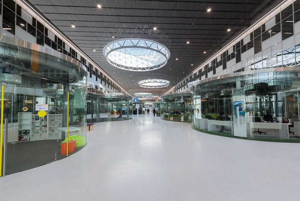
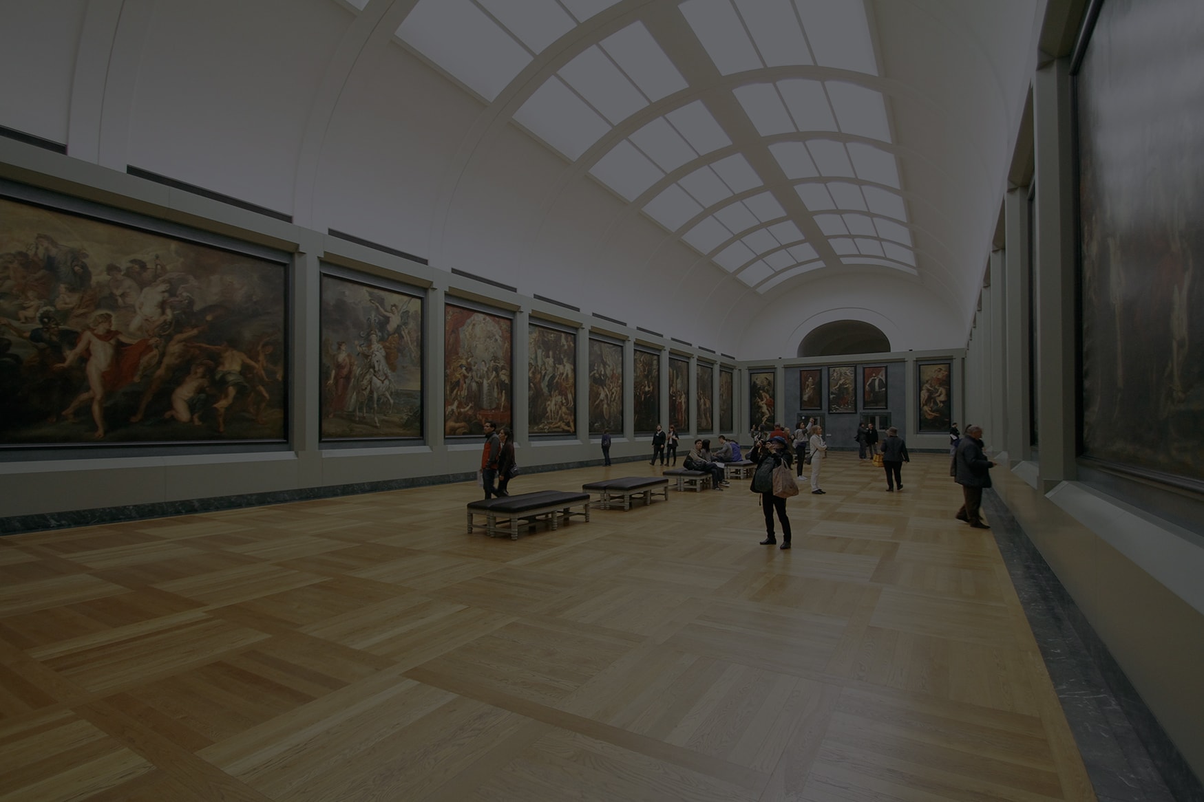
Companies strive to provide the best visitor experience at exhibitions, conferences, and other events. They might want to consider a mobile application that makes the organization easier and more efficient. It’s easy for visitors to get lost at the huge expo or end up wondering around countless booths trying to find the right one. To avoid problems with navigation inside the exhibition we recommend using iBeacon technology that helps attendees see where they exactly are in the exhibit hall. Location based services for expocenters allow visitors to build a route to the desired location. A multifunctional app simplifies routine tasks when the event is on by the means of mobile registration, foot traffic monitoring, and location-based analytic. At the same time, visitors gain so many benefits: indoor navigation around the event, a list of speakers and exhibitors and how to get to them, a virtual guide, exchanging of business cards, meetings reminders, and others.
Our mission is to help satisfy any needs that may have visitors and organizers during big events, so our solution has four key elements:
Increasing visitor loyalty and experience
The indoor navigation system is successfully used to increase visitor loyalty through convenient indoor navigation. Using the system, you can also send users information about future events, invitations to exhibitions, and provide bonuses and discounts on tickets. These and other features provide a direct connection with attendees, increasing their engagement and making their event experience more satisfying.
Increasing event income
Location-based systems provide organizers with a new marketing channel to increase event profitability. Using a mobile app, organizers can send visitors personalized advertising and any useful information based on the interests and preferences of users.
Monitoring visitors and objects in real time
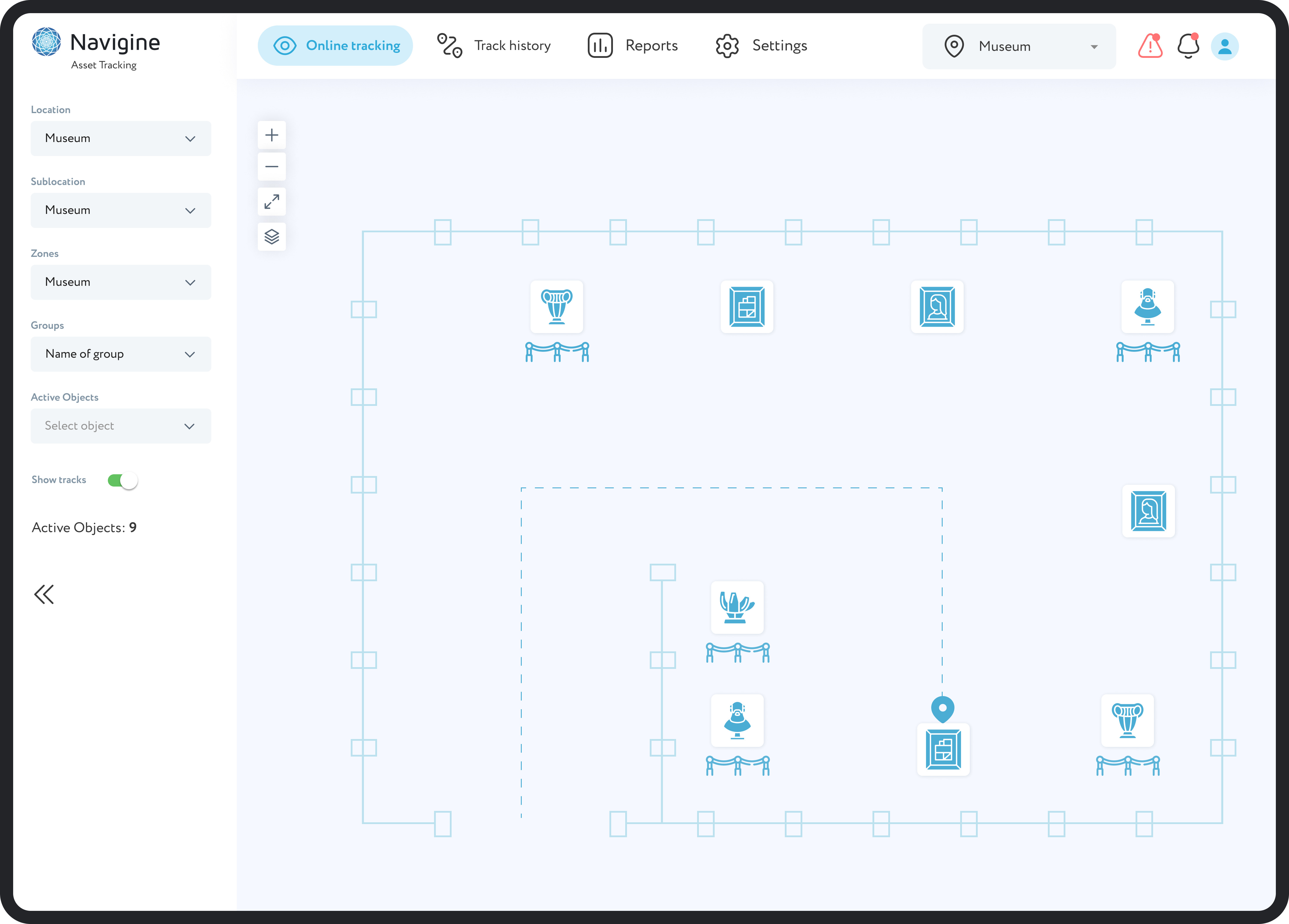
Tracking objects and visitors using sensors allows you to determine their location in real time. Thanks to this approach, you can improve the user experience, increase the efficiency of asset management, and regulate the workload for different spaces. In addition, the system helps with maintaining social distancing at exhibitions, which increases visitor safety.
Obtaining up-to-date analytical data
RTLS systems allow you to track attendance, control visitor flows, and use this data when organizing and planning the next events. Its implementation provides organizers with an accurate analytical tool that ensures continuous monitoring of people in real time.

.svg)
.svg)
.svg)
.svg)
.svg)
.svg)
.svg)
.svg)
.svg)
.svg)
.svg)
.svg)
.svg)
.svg)


.jpg)