There is one big problem with all car navigators. They don’t work in tunnels, underground parking, or even near huge skyscraper in the city center. The majority of navigation systems are based on GNSS signals which is why they can’t identify a car in places where GNSS-denied environments.
Navigine developed a hi-tech solution that can solve this problem. Due to the reliable algorithm of inertial navigation, Navigine’s software ensures reliable positioning in the most remote areas.
Increasing car owner loyalty
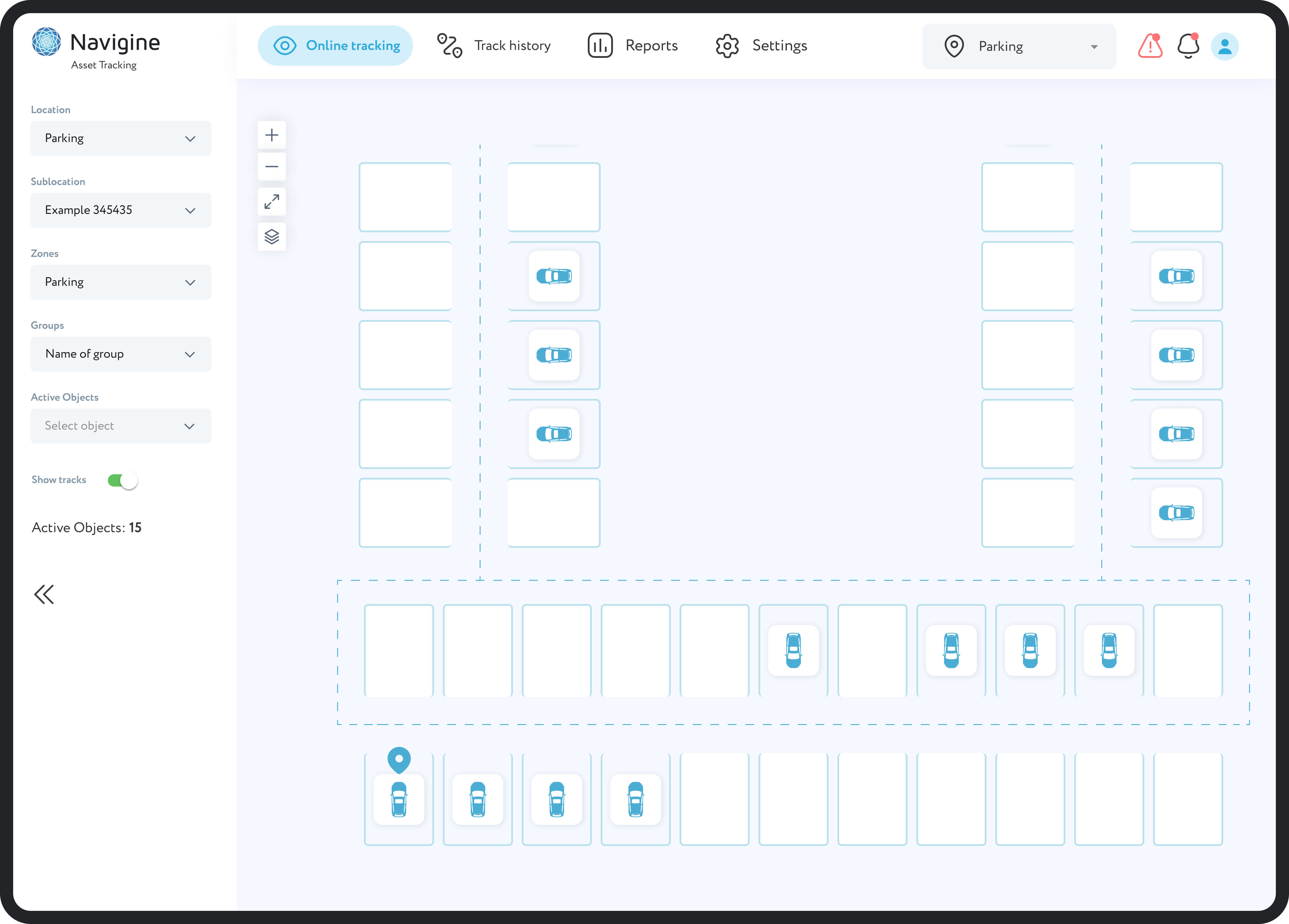
Thanks to using an indoor navigation system, it’s easier for visitors of shopping and business centers to navigate indoor and multi-level parking lots. The system allows you to create short routes from the building to the car, which helps drivers quickly find vehicles, saves their time, and increases loyalty to the company.
Working based on existing sensors
The navigation solution uses existing sensors in the vehicle to determine location, eliminating the need to install additional expensive equipment or modules.
No need for GPS
An important advantage of the system is that it is not dependent on GPS. This allows positioning in places where a GPS signal is not available, such as tunnels.
Instant positioning
The system provides instant and accurate information about the vehicle's location. This allows you to improve navigation, movement control, and efficiency of vehicle use without delays or restrictions.


 (1) (1).svg)
.svg)
.svg)
.svg)

.svg)
 (1) (1).svg)
.svg)


.jpg)